|
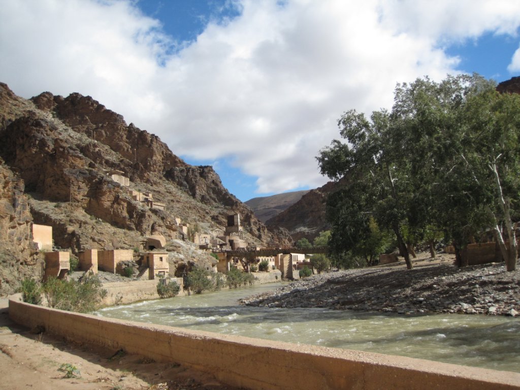 |
| Deserted mining village along the Oued Moulouya | |
| Latitude: N 32°48'34,69" | Longitude: W 4°35'44,06" | Altitude: 1143 metres | Location: Tazensout | City: Midelt | State/Province: Meknès-Tafilalet | Country: Marokko | Copyright: Ron Harkink | See map | |
| Total images: 23 | Help | |